
Our approach
We support you with precision and efficiency.
Whether you are planning a building project, a property development, or simply need accurate detail about your land, our surveying team is with you at every stage, from the first survey to the final check.
Our surveys are tied to the national coordinate system MN95 and to the LHN95 height datum. The plans we deliver fit alongside cadastral data and the documents of other consultants. Depending on the extent and the level of detail required, the ground survey is completed by 3D laser scanning or by aerial photogrammetry.
Services
What we do
Detailed topographic survey of the site
Site setting out
Profile boards for the public planning notice
Site plan
Site checking and monitoring
Earthwork volume calculation
Structural checking and deformation monitoring
Equipment
Two instruments, two levels of accuracy
The choice depends on the accuracy required and on the layout of the site.
Total station
Trimble S5 · Leica TS15The total station measures angles and distances to millimetre accuracy. It is the reference instrument for setting out and structural checking — wherever every centimetre commits the build.
- Setting out
- Construction checking
- Deformation monitoring
GNSS receiver
Leica GS15GNSS positions in real time by satellite, tied to the Swiss reference network. Fast and effective in the open, it covers large areas without setting up on stations.
- RTK correction
- Large areas
- Control points
Case studies
A few recent projects
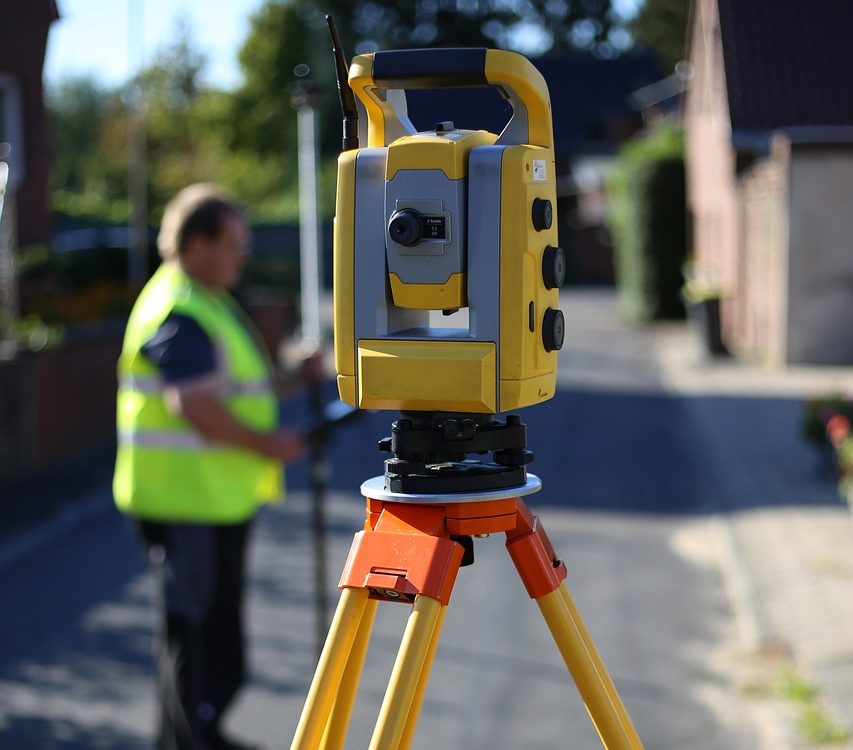
Relevé topographique
Building land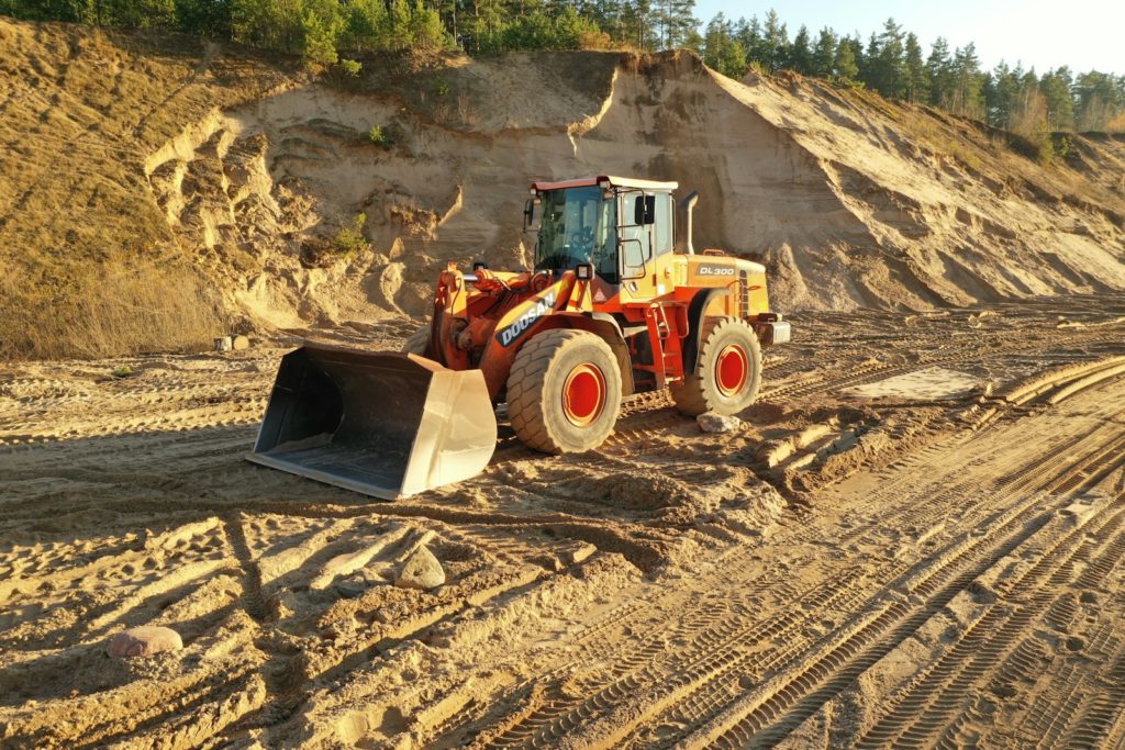
Site setting out
ConstructionFrequently asked
What we get asked most often
When do you need a site plan?
What are profile boards?
When should a surveyor come on site?
What is the difference between a total station survey and a 3D scan?
In what formats do you deliver plans?
Do you calculate earthwork volumes?
Going further
Related services
Our disciplines feed into one another: the survey feeds the model, which feeds the published output.
Georeferenced point clouds
3D laser scanning
When the survey has to cover a whole building rather than isolated points.
Find out more →Drone and LiDAR survey
Aerial photogrammetry
For large areas and hard-to-reach places, from the air.
Find out more →Web map portals and GIS applications
Geographic information system
To use and publish your data once it has been surveyed.
Find out more →Enquiry
Have a question, or want a professional opinion? Get in touch and we'll come back to you quickly.
Get in touch →